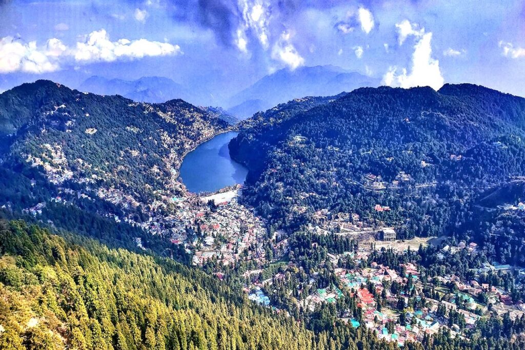
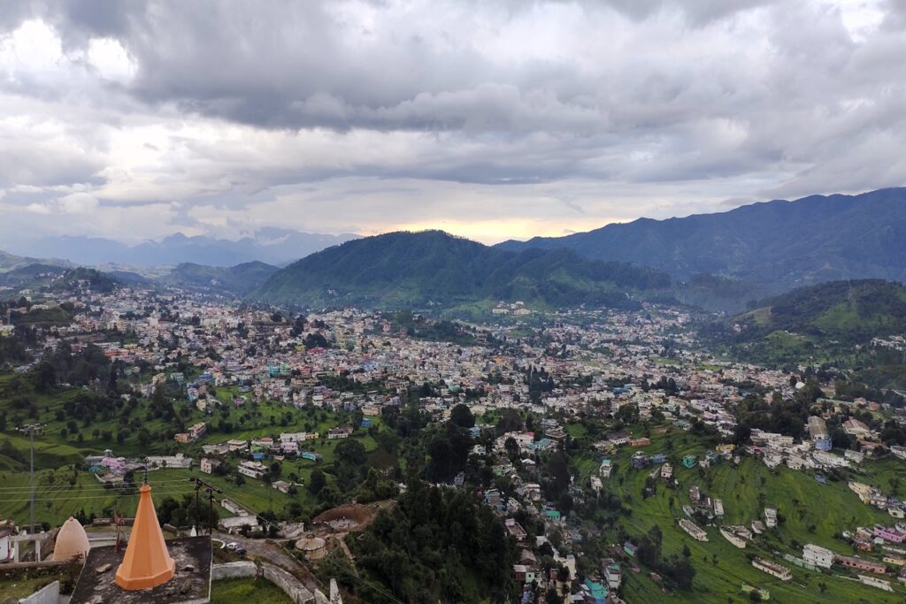
Sarovar Nagri, Nainital city, famous as the city of lakes, is surrounded from all three sides, by Tiffin Top, China Pak Snow View, Halingadhi Sher Ka Danda, etc. has fallen from high hills, is on the world tourism map or is a tourist destination where it has the maximum number of lakes, this city is at sea level. It is situated at an altitude of about 1938 meters from
In the middle of this city, Naini Lake, which is also known as Nainital, has a length of about 1500 meters, width of 520 meters, and depth of 8 to 156 meters. There is a road on both sides of the Lake, the upper part of the Lake is called Mallital and the lower part is called Tallital, there are many other lakes also around it.
The nearest rail line was laid up to Kathgodam in 1822 AD, due to which Nainital district developed very rapidly as it became the district headquarters in 1891. Raj Bhavan was established in Nainital in 1900 and has been used as the summer capital since 1962. When the state of Uttarakhand was formed on 9 November 2000, the Uttarakhand High Court was shifted to Nainital. It is the judicial capital of Uttarakhand.
Geographical Position
Nainital is a popular hill station and a city in the Indian state of Uttarakhand. It is located in the Kumaon region of the Uttarakhand and is situated at an altitude of approximately 2,084 meters (6,837 feet) above sea level.
Nainital is nestled around the Naini Lake, from which the town derives its name. Apart from Naini Lake, there are other lakes in the region, such as Bhimtal, Sattal, and Naukuchiatal, adding to the natural beauty of the area.

The lake is a pear-shaped freshwater lake and is one of the prominent attractions in the region. The town is situated at a high altitude, providing a cool and pleasant climate, especially during the summer months. This elevation contributes to Nainital’s popularity as a hill station and a tourist destination.
To the east of Nainital, Almora is another prominent district in the Kumaon region of Uttarakhand. Nainital district shares its border with Almora, Udham Singh Nagar, and Champawat.
Administrative Division
Nainital Municipality was formed in the year 1873. There are a total of 9 tehsils, 8 blocks, and 6 assembly constituencies in Nainital district. The population of Nainital district is fourth in Uttarakhand. Its population is approximately 955605. The density of Nainital district is 225. The literacy rate of Nainital district is 83.88%. The total Male literacy of Nainital district is 90%, out of which female literacy is 77.3%. Nainital district ranks second in terms of female literacy and the sex ratio of Nainital district is 934.
Major tourist places in Nainital district
India’s oldest golf course is located in Aurobindo Ashram on the present hills of Nainital. Hanumangarhi of Nainital is famous for giving a unique view after sunset. The country’s and Asia’s first National Park, Corbett National Park is situated in the Nainital district itself. Nainital is known as one of the lakes. The city is also called. All the major districts of Kumaon are located in Nainital district.

